Our General Location
Sturtevant Camp is located 26 miles– including hiking!– from downtown Los Angeles in the upper reaches of the Big Santa Anita Canyon of the San Gabriel Mountains, not too far below the summit of the famous observatory on Mt. Wilson. Access is only possible by hiking: the “easiest” and best way is from the trailhead at Chantry Flat above Sierra Madre, California.
How to Get to Chantry Flat
From the 210 Freeway, or any east-west thoroughfare such as Sierra Madre Blvd. or Foothill Blvd., go north on Santa Anita Ave. Follow Santa Anita Ave. all the way up the twisting road into the mountains. Chantry Flat is at the end of the road, three miles above the entrance gate at the top of Santa Anita Ave.
To get to Adams’ Pack Station, drive through the middle parking lot and around to the left, through the upper lot and down the dirt driveway. Just follow the signs.
Parking in the public lot requires an Adventure Pass, sold at the pack station. Other passes are accepted, such as the Interagency (American the Beautiful) Pass, Interagency Senior Pass and Interagency Access Pass.
Parking on the road is discouraged, and improperly parked cars WILL be ticketed and often towed. On weekends, parking is HIGHLY competitive starting at 6am.
Parking in the Adams’ Pack Station dirt lot is available at current rates (weekends higher) on a first come/first served basis, or by reservation. Contact HostManager@SturtevantCamp.com for more information.
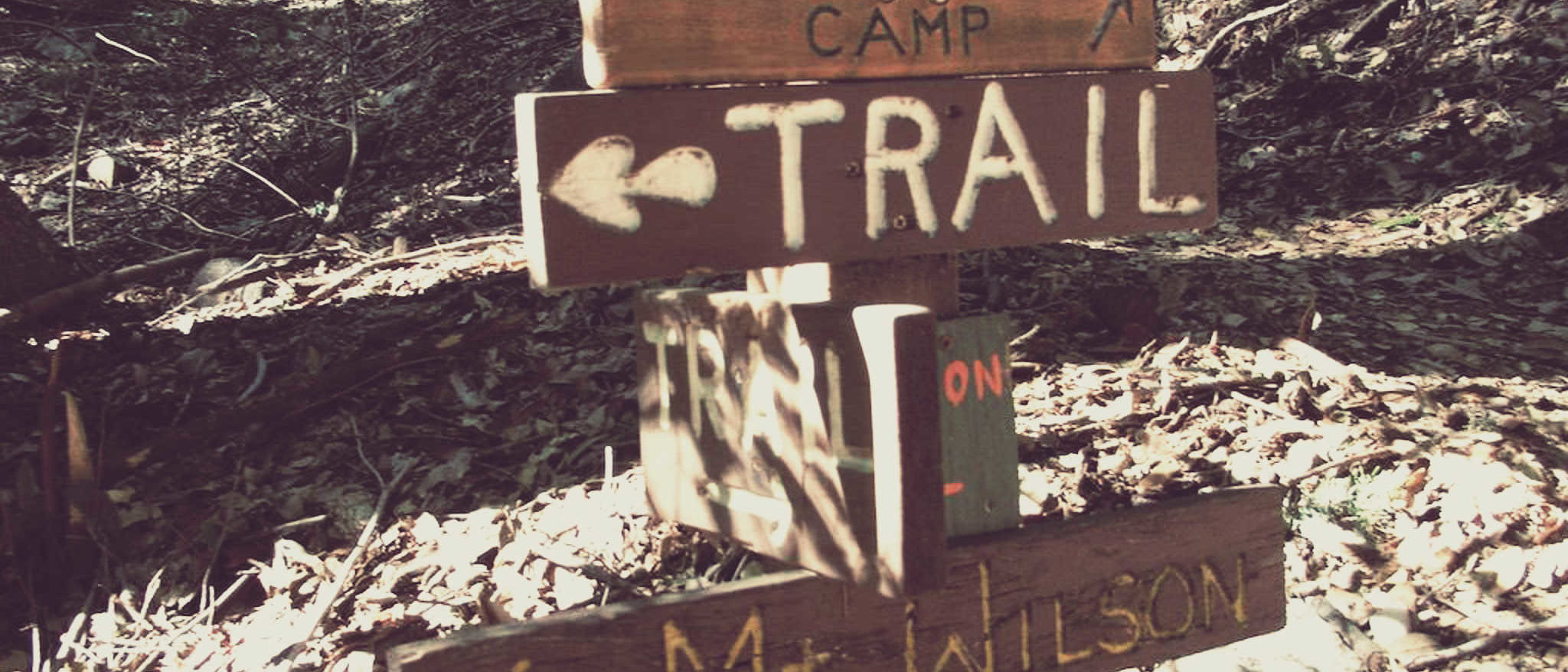
How to Get to Sturtevant Camp
Sturtevant Camp is a 4.2 mile hike from Chantry Flat. It typically takes guests two hours to get here. Check in at Adams’ Pack Station prior to hiking in so that they can notify the camp Host that you are on the way (this means that your group must check-in prior to 5 pm).
Download: Simple Map in PDF Format